Back to projects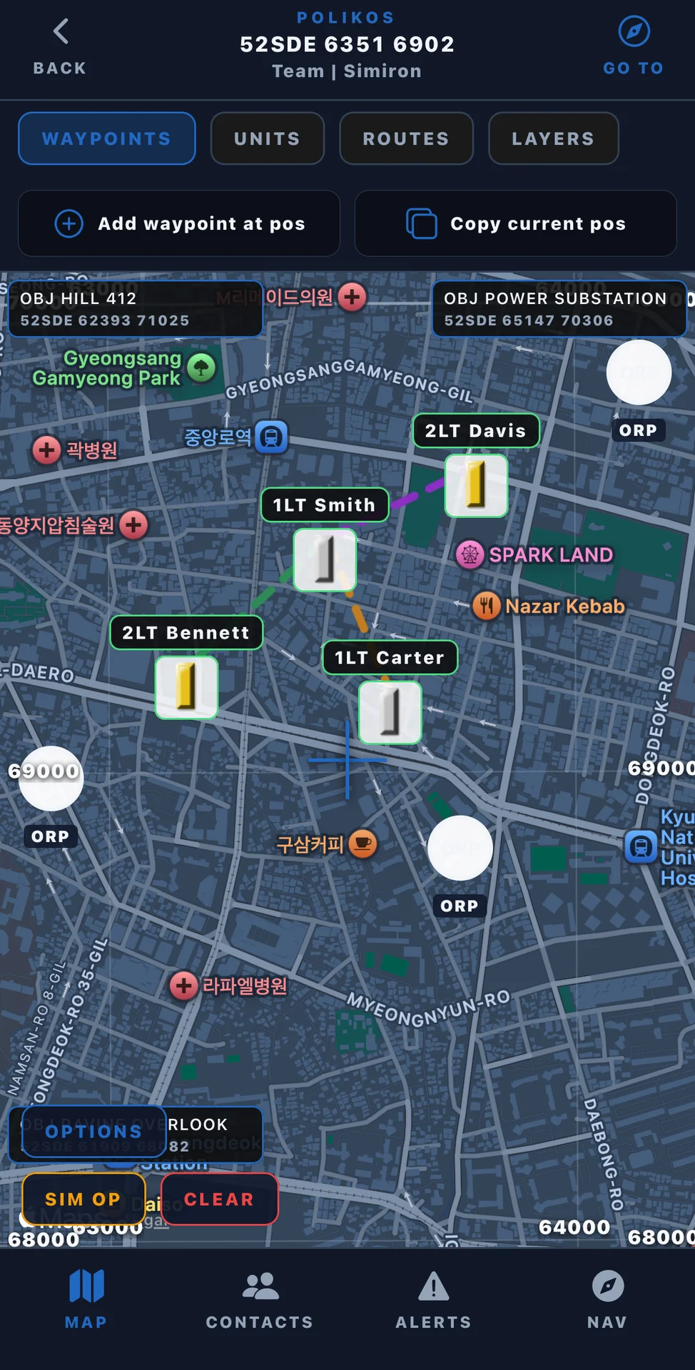
Our Projects
Polikos
iOS app
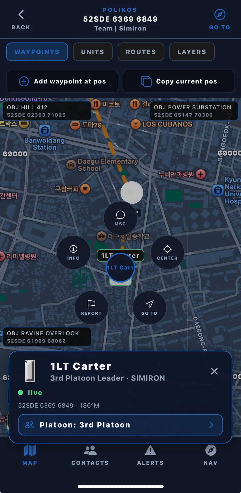
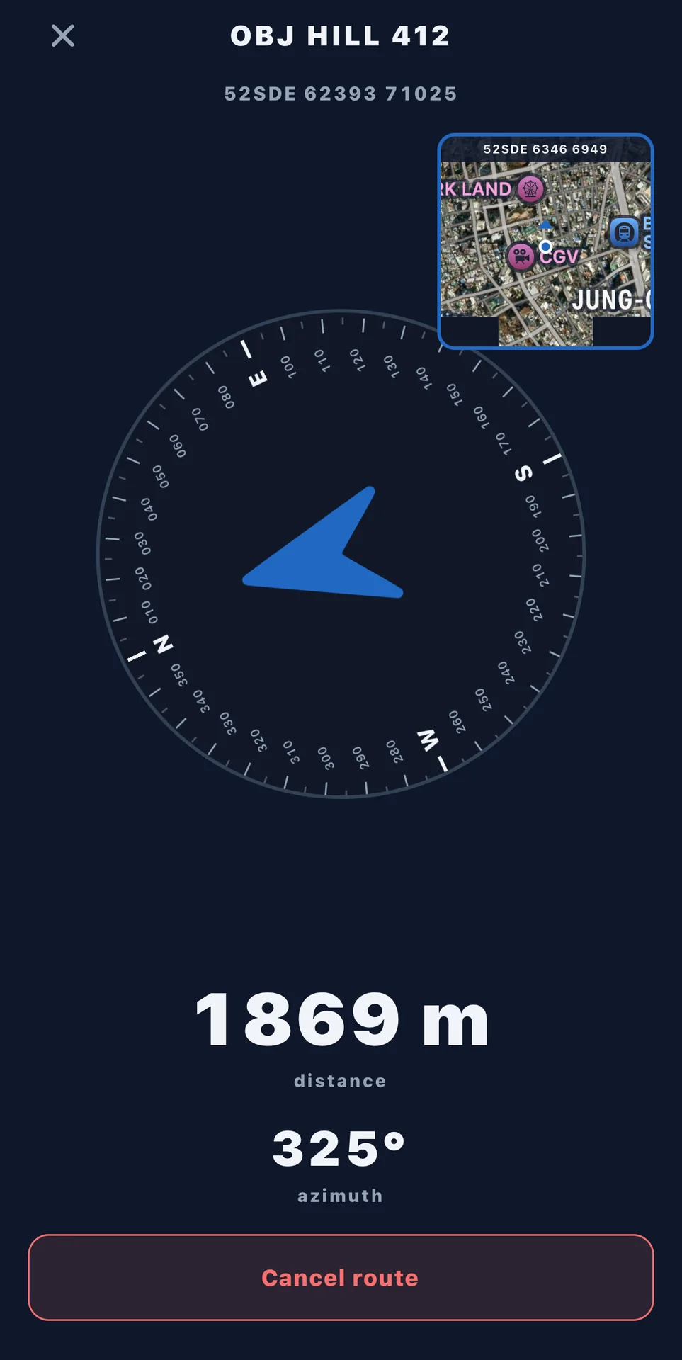
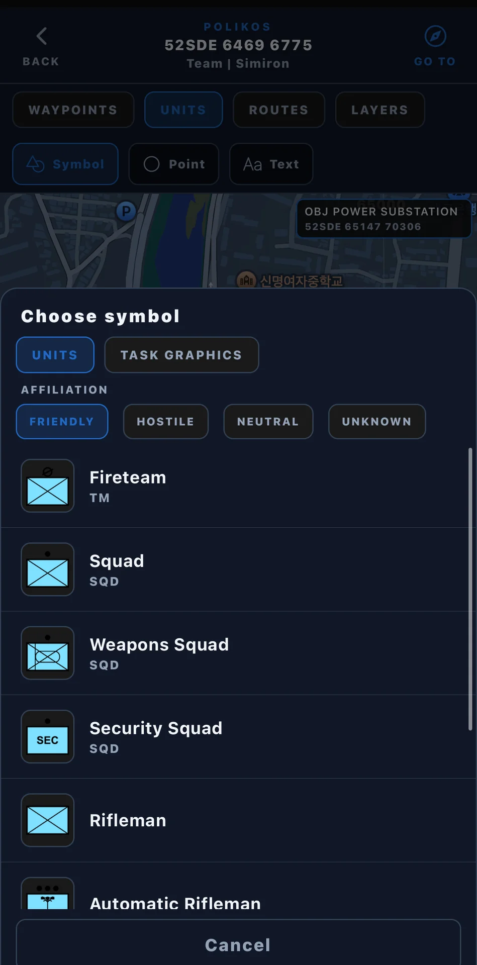
Polikos is an iOS app for squads and small units. It plots friendly positions, shows MGRS coordinates, and supports land navigation drills.
Challenge
Squads and small units in the field need a shared picture of friendly positions, MGRS coordinates, and land navigation drills without relying on a full command system.
Work done
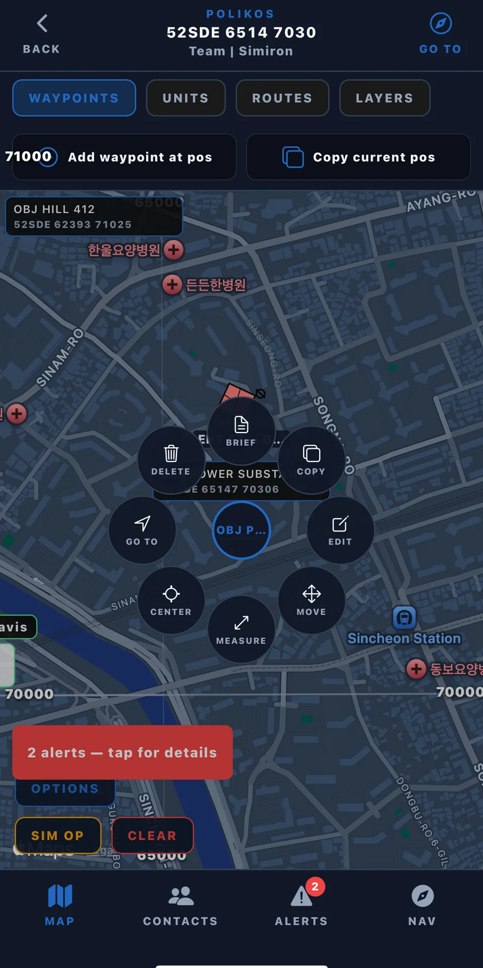
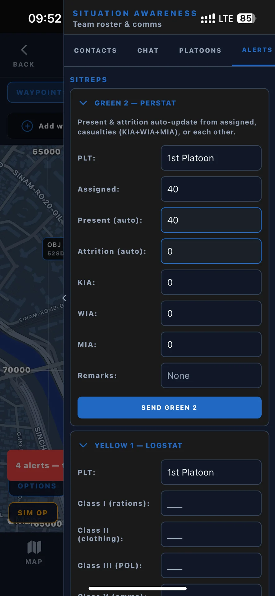
We built Polikos as an iOS app that plots friendly positions on a tactical map, shows MGRS coordinates from GPS, supports land navigation drills, and keeps team overlays aligned during training.
Result
Units can run training with a shared overlay on a phone they already carry.
Build something for your business
Browse available options in our services, or tell us about the workflow you want to improve.